
The 2026 El Niño is breaking records and has yet to peak, generating high anxiety among residents in Southern California. Climate, ocean, and coastal-policy experts at UC Santa Barbara are offering perspectives on how this natural phenomenon works, what the region might expect, and how communities can prepare for a potentially challenging winter.
The El Niño Southern Oscillation is a natural fluctuation of sea surface temperatures in the Pacific Ocean. This cycle, which repeats every two to seven years, brings warm water eastward from the tropical Pacific towards the west coasts of North and South America for about a year. These higher sea temperatures significantly affect weather and ocean patterns, generally leading to strong storms in Southern California.
This year appears to be particularly severe. Samantha Stevenson, a climate scientist specializing in the El Niño Southern Oscillation and a professor at UCSB’s Bren School of Environmental Science & Management, noted that the latest forecast indicates a 75% chance this will be the largest El Niño since at least 1950. A recent study by Stevenson also found that the El Niño cycle itself has become more intense over the last 40 years compared to the previous 1,000 years. The threshold for El Niño is when tropical Pacific surface temperatures are 0.5 degrees Celsius higher than average; currently, instruments show the ocean surface at the equator is already 4 degrees Celsius higher. Stevenson added that subsurface temperatures are even more elevated, stating, "It’s 10º Celsius warmer than normal along the equator."
Warmer water contributes to more intense storms, such as Hurricane Polo observed south of Baja California. This phenomenon results in bigger swells and higher surf, which are critical factors in increasing coastal flooding and erosion risks. Additionally, water expands as it heats up, adding approximately six inches to the height of the ocean’s surface. This bulge of warm water travels eastward from the equatorial Pacific, reaching the west coasts of North and South America. Stevenson explained that when this warm water hits the coastal boundary, it splits, sending a slow-moving Kelvin wave along the coastline both north and south. Libe Washburn, a professor emeritus of geography who studies ocean circulation, clarified that these are a different kind of Kelvin wave than normal tides and will not manifest as a tsunami, though he noted, "They’re just a different kind of Kelvin wave." This short-term rise in local sea level exacerbates hazards from storms and surf, particularly when coinciding with the highest tides, known as king tides. Washburn explained that when king tides, big swells, and elevated sea levels from thermal expansion align, the potential for coastal flooding and erosion of cliff faces increases.
Regarding rain and potential flooding, El Niño’s effects vary across the West Coast. The warming conditions typically shift the jet stream southward, directing winter storms toward California and away from the usually wetter Pacific Northwest. Consequently, these storms retain significant moisture by the time they reach Southern California. Climate scientists anticipate a wetter winter, especially if the jet stream directs atmospheric rivers into the region, which could lead to flooding and debris flows.
Charles Lester, director of UCSB’s Ocean and Coastal Policy Center, warned that low-lying areas, beach-level homes, and cliffs face increased potential for damage. Historically vulnerable locations include Downtown Santa Barbara, built on the Mission Creek estuary, and the Goleta airport, situated on the partially filled Goleta Slough; both have experienced past flooding and could again this winter. Furthermore, areas near streams and rivers, or downhill from recent fire scars, face an elevated risk of landslides. Even farther inland, heavy flows and unstable soil pose hazards, as demonstrated by the surging water that breached part of the Los Angeles Aqueduct in 2023.
Despite the current conditions, the most significant rainfall may not arrive immediately. Stevenson indicated that the wetter conditions are predicted to peak in the spring, specifically from February to April. This combination of warmer weather and increased precipitation later in the season also negatively impacts California’s snowpack, which is vital for regulating the state’s water resources through a slow release of water over spring, summer, and fall.
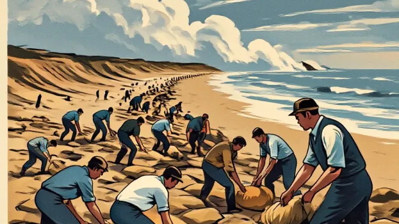
To prepare for El Niño’s impacts, a practical approach involves investigating past events in one’s neighborhood. Washburn suggested residents recall previous El Niños, stating, "We’ve been through these before." It is also crucial to consider recent developments like fires, erosion, or major construction, as these factors, combined with historical patterns, help set the stage for what might unfold. Experts advise that this understanding should guide individual preparedness plans. Stevenson shared her own experience, installing a sump pump after a section of her house nearly flooded a few winters prior. Lester recommended specific actions such as cleaning gutters and drainages, and acquiring sandbags for flood-prone areas, emphasizing that "better safe than sorry."
Starting preparations early is beneficial; Stevenson, highlighting the importance of early action, began planning in the summer, anticipating that landscapers would become booked. The researchers agree that this proactive approach should extend to broader societal planning. They argue that California needs to take systematic steps to make neighborhoods, cities, and open spaces more resilient to El Niño’s impacts, which are amplified by underlying climate change. Lester concluded that "We definitely need more long-term, societal planning."