
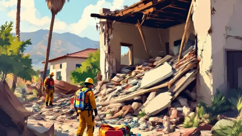
A University of California, Santa Barbara engineering team is developing methods to repurpose everyday wireless signals to locate people and track movement during severe disasters, as UCSB ECE Department reported. Electrical and computer engineering professor Upamanyu Madhow is co-leading the research effort to help cellular networks assess surroundings when emergency situations disrupt standard GPS, damage infrastructure, or obscure visibility with smoke and debris.
The initiative is part of a new $4.1 million National Science Foundation project titled Assessing, Restoring, and Supporting Post-Disaster Connectivity and Response, or AReS. Led by Princeton University and funded through the NSF Verticals-enabling Intelligent Network Systems program, the project brings together researchers from UCSB, Princeton, Duke, and Rice University. The project combines artificial intelligence, augmented reality, and integrated sensing and communication technology, which enables wireless networks to gather environmental data while simultaneously transmitting standard communications.
Madhow told UCSB ECE Department that wireless networks are already broadly deployed, creating an opportunity to use cellular infrastructure for distributed sensing alongside typical communication functions. His research team is focusing on network-assisted positioning and tracking, building algorithms to locate transmitting devices and detect movement from individuals who carry no functioning hardware.
The project targets two distinct emergency scenarios. In the first instance, a disaster victim or first responder carries a phone or device capable of sending a wireless signal, even if GPS functionality is unavailable. Madhow's team is investigating how multiple surrounding network receivers can pick up the same transmission, gathering data on arrival timing, directional angles, and signal paths to pinpoint the origin.
In damaged urban environments, wireless signals often reflect off obstacles and buildings rather than traveling along a straight line. To resolve these confusing reflections, researchers are combining timing and directional data with 3D terrain maps. Madhow told UCSB ECE Department that his team is applying AI and statistical methods to weigh uncertain clues and identify the most likely location of a missing signal.
This approach builds on earlier research by Madhow’s group that used 3D mapping to correct satellite signals in urban canyons. That previous technology was commercialized through a startup called ShadowMaps, which Uber acquired in 2016. The current AReS project expands on those concepts by leveraging modern cellular features, including multi-antenna arrays, expanded bandwidth, and advanced computing power.
Researchers are using computer models called digital twins and ray tracing techniques to simulate how wireless signals bounce off physical structures. Machine-learning algorithms then evaluate those complex signal paths to help locate active devices.
For the second scenario—where a victim is trapped under rubble or inside a damaged building without a working device—the project is developing device-free multi-static sensing. Instead of waiting for a transmission from a victim's device, one node emits a signal into an area while receivers at other points measure how those waves reflect off individuals and surroundings. By comparing measurements across multiple viewpoints, the system can spot movement without requiring a target to carry hardware.
Because rubble, furniture, and stationary walls produce heavy background interference, the team is prioritizing movement detection. Madhow told UCSB ECE Department that at a coarse level, the system can highlight general areas where people need aid, while close-range sensors could eventually detect subtle movements or breathing behind physical obstacles. The project is testing whether low-cost receivers placed around a disaster scene can pair effectively with high-powered cellular equipment to streamline deployment.
Over the next three years, the multi-university team plans to build and test functional prototypes on experimental systems. Alongside Madhow, the collaboration includes Princeton professor Yasaman Ghasempour and Duke professor Tingjun Chen, who previously worked together on basic wireless systems. The overall project aims to integrate network restoration, multi-system data fusion, and real-time visualization for first responders.
Madhow told UCSB ECE Department that the ultimate objective is making cellular networks active tools that give first responders immediate awareness of real-time conditions whenever visibility, physical infrastructure, and standard GPS are compromised.